
Cachapoal topographic map
Interactive map
Click on the map to display elevation.
About this map
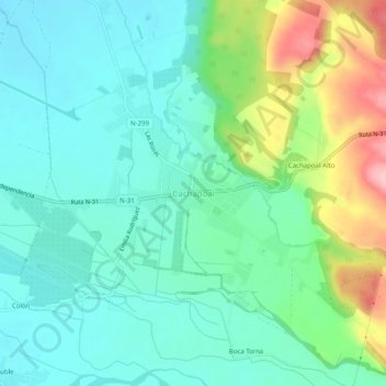
Name: Cachapoal topographic map, elevation, terrain.
Location: Cachapoal, Provincia de Punilla, Ñuble, Chili (-36.48150 -71.74815 -36.44150 -71.70815)
Average elevation: 314 m
Minimum elevation: 268 m
Maximum elevation: 437 m