
Thank you for supporting this site ❤️
Make a donation
Make a donation
Hopecastle Forest topographic map
Click on the map to display elevation.
Thank you for supporting this site ❤️
Make a donation
Make a donation
About this map
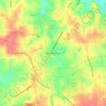
Name: Hopecastle Forest topographic map, elevation, terrain.
Location: Hopecastle Forest, Paulding County, Georgia, United States (33.94844 -84.80188 33.98844 -84.76188)
Average elevation: 317 m
Minimum elevation: 273 m
Maximum elevation: 350 m
Thank you for supporting this site ❤️
Make a donation
Make a donation
Other topographic maps
Click on a map to view its topography, its elevation and its terrain.