
Thank you for supporting this site ❤️
Make a donation
Make a donation
Highland topographic map
Click on the map to display elevation.
Thank you for supporting this site ❤️
Make a donation
Make a donation
About this map
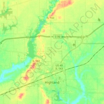
Name: Highland topographic map, elevation, terrain.
Location: Highland, Madison County, Illinois, United States (38.71719 -89.71242 38.82435 -89.65131)
Average elevation: 163 m
Minimum elevation: 142 m
Maximum elevation: 192 m
Thank you for supporting this site ❤️
Make a donation
Make a donation