
Twyford topographic map
Interactive map
Click on the map to display elevation.
About this map
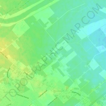
Name: Twyford topographic map, elevation, terrain.
Average elevation: 19 m
Minimum elevation: 9 m
Maximum elevation: 30 m
Other topographic maps
Click on a map to view its topography, its elevation and its terrain.
Mangateretere
New Zealand > Hawke's Bay > Hastings District > Hastings
Mangateretere, Hastings, Hastings District, Hawke's Bay, 4172, New Zealand
Average elevation: 9 m
Matangi
New Zealand > Hawke's Bay > Hastings District > Hastings
Matangi, Hastings, Hastings District, Hawke's Bay, 4295, New Zealand
Average elevation: 187 m