
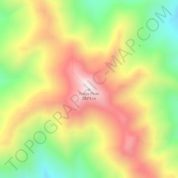
Grays Peak topographic map
Interactive map
Click on the map to display elevation.
About this map
Name: Grays Peak topographic map, elevation, terrain.
Location: Grays Peak, Valley County, Idaho, USA (44.82975 -115.06657 44.82985 -115.06647)
Average elevation: 2,287 m
Minimum elevation: 1,902 m
Maximum elevation: 2,669 m
Other topographic maps
Click on a map to view its topography, its elevation and its terrain.
Pend Oreille River
Pend Oreille River, Bonner County, Idaho, 83822, USA
Average elevation: 664 m
Garden City
USA > Idaho > Garden City
Garden City, Ada County, Idaho, 83614, USA
Average elevation: 852 m