
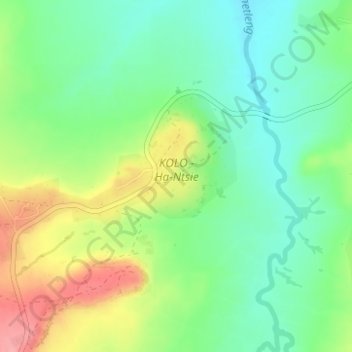
KOLO - Ha-Ntsie topographic map
Interactive map
Click on the map to display elevation.
About this map
Name: KOLO - Ha-Ntsie topographic map, elevation, terrain.
Location: KOLO - Ha-Ntsie, Mafeteng District, Lesotho (-29.60772 27.27200 -29.59468 27.29774)
Average elevation: 1,515 m
Minimum elevation: 1,476 m
Maximum elevation: 1,580 m
Other topographic maps
Click on a map to view its topography, its elevation and its terrain.