
Thank you for supporting this site ❤️
Make a donation
Make a donation
Fleming topographic map
Click on the map to display elevation.
Thank you for supporting this site ❤️
Make a donation
Make a donation
About this map
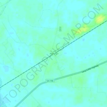
Name: Fleming topographic map, elevation, terrain.
Location: Fleming, Liberty County, Georgia, 31309, United States (31.86077 -81.44650 31.90077 -81.40650)
Average elevation: 5 m
Minimum elevation: 1 m
Maximum elevation: 16 m
Thank you for supporting this site ❤️
Make a donation
Make a donation
Other topographic maps
Click on a map to view its topography, its elevation and its terrain.