
Thank you for supporting this site ❤️
Make a donation
Make a donation
Los Ríos topographic map
Click on the map to display elevation.
Thank you for supporting this site ❤️
Make a donation
Make a donation
About this map
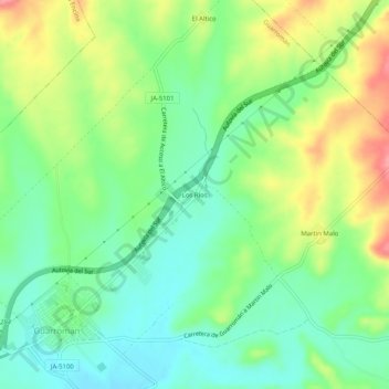
Name: Los Ríos topographic map, elevation, terrain.
Location: Los Ríos, Guarromán, Jaén, Andalusia, 23211, Spain (38.17630 -3.68913 38.21630 -3.64913)
Average elevation: 361 m
Minimum elevation: 325 m
Maximum elevation: 422 m
Thank you for supporting this site ❤️
Make a donation
Make a donation