
Stockton topographic map
Interactive map
Click on the map to display elevation.
About this map
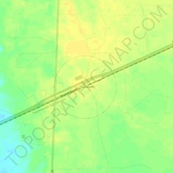
Name: Stockton topographic map, elevation, terrain.
Location: Stockton, Lanier County, Georgia, 31649, United States (30.91835 -83.01944 30.95835 -82.97944)
Average elevation: 54 m
Minimum elevation: 39 m
Maximum elevation: 61 m