
Walberton topographic map
Click on the map to display elevation.
About this map
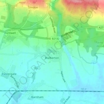
Name: Walberton topographic map, elevation, terrain.
Location: Walberton, Arun, West Sussex, England, United Kingdom (50.83108 -0.65321 50.86329 -0.58379)
Average elevation: 24 m
Minimum elevation: -2 m
Maximum elevation: 100 m