
Ambanja topographic map
Interactive map
Click on the map to display elevation.
About this map
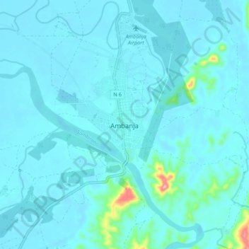
Name: Ambanja topographic map, elevation, terrain.
Location: Ambanja, Diana, Province d'Antsiranana, Madagaskar (-13.71581 48.41278 -13.63581 48.49278)
Average elevation: 20 m
Minimum elevation: 5 m
Maximum elevation: 192 m