
Argentera topographic map
Interactive map
Click on the map to display elevation.
About this map
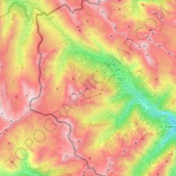
Name: Argentera topographic map, elevation, terrain.
Location: Argentera, Cuneo, Piëmont, Italië (44.31929 6.88701 44.42996 7.03051)
Average elevation: 2,220 m
Minimum elevation: 1,319 m
Maximum elevation: 2,928 m