
Tirol topographic map
Interactive map
Click on the map to display elevation.
About this map
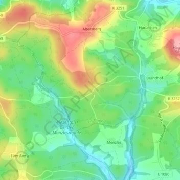
Name: Tirol topographic map, elevation, terrain.
Location: Tirol, Gschwend, Ostalbkreis, Baden-Wurtemberg, 74417, Alemania (48.92286 9.68047 48.94286 9.70047)
Average elevation: 512 m
Minimum elevation: 462 m
Maximum elevation: 587 m