
Humpolec topographic map
Interactive map
Click on the map to display elevation.
About this map
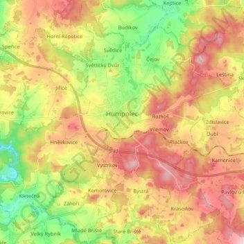
Name: Humpolec topographic map, elevation, terrain.
Location: Humpolec, okres Pelhřimov, Kraj Vysočina, Southeast, Czechia (49.48597 15.26176 49.59059 15.42387)
Average elevation: 555 m
Minimum elevation: 426 m
Maximum elevation: 683 m