
Westport topographic map
Interactive map
Click on the map to display elevation.
About this map
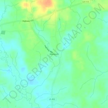
Name: Westport topographic map, elevation, terrain.
Location: Westport, Rapides Parish, Louisiana, USA (30.94463 -92.81737 30.98463 -92.77737)
Average elevation: 51 m
Minimum elevation: 39 m
Maximum elevation: 74 m