
Kanaal van Brugge naar Sluis topographic map
Interactive map
Click on the map to display elevation.
About this map
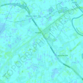
Name: Kanaal van Brugge naar Sluis topographic map, elevation, terrain.
Average elevation: 1 m
Minimum elevation: -2 m
Maximum elevation: 4 m
Other topographic maps
Click on a map to view its topography, its elevation and its terrain.
Schobbejakshoogte
België > Vlaanderen > Damme
Schobbejakshoogte, Abdijenroute, Sint-Kruis, Damme, Brugge, West-Vlaanderen, Vlaanderen, 8310, België
Average elevation: 5 m