
Thank you for supporting this site ❤️
Make a donation
Make a donation
Molepolole topographic map
Click on the map to display elevation.
Thank you for supporting this site ❤️
Make a donation
Make a donation
About this map
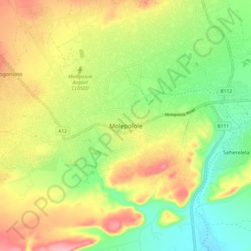
Name: Molepolole topographic map, elevation, terrain.
Location: Molepolole, Kweneng District, Botswana (-24.44580 25.47516 -24.36580 25.55516)
Average elevation: 1,143 m
Minimum elevation: 1,078 m
Maximum elevation: 1,223 m
Thank you for supporting this site ❤️
Make a donation
Make a donation