
Crewe topographic map
Interactive map
Click on the map to display elevation.
About this map
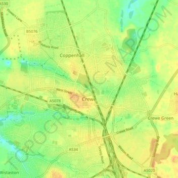
Name: Crewe topographic map, elevation, terrain.
Location: Crewe, Cheshire East, England, United Kingdom (53.07856 -2.48263 53.12588 -2.40699)
Average elevation: 52 m
Minimum elevation: 35 m
Maximum elevation: 64 m
Other topographic maps
Click on a map to view its topography, its elevation and its terrain.
Mow Cop
United Kingdom > England > Cheshire East
Mow Cop, Cheshire East, England, ST7 3PF, United Kingdom
Average elevation: 220 m