
Punaluu topographic map
Interactive map
Click on the map to display elevation.
About this map
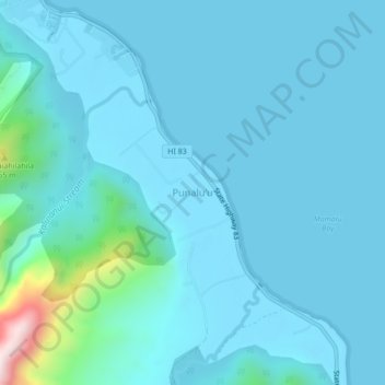
Name: Punaluu topographic map, elevation, terrain.
Location: Punaluu, Honolulu County, Hawaii, 96717, USA (21.56849 -157.91208 21.60849 -157.87208)
Average elevation: 57 m
Minimum elevation: -1 m
Maximum elevation: 624 m