
Rusten topographic map
Interactive map
Click on the map to display elevation.
About this map
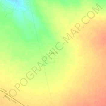
Name: Rusten topographic map, elevation, terrain.
Average elevation: 1,206 m
Minimum elevation: 1,177 m
Maximum elevation: 1,222 m
Other topographic maps
Click on a map to view its topography, its elevation and its terrain.
Tlapeng
South Africa > North West > Dr Ruth Segomotsi Mompati District Municipality > Kagisano-Molopo Local Municipality
Tlapeng, Kagisano-Molopo Local Municipality, Dr Ruth Segomotsi Mompati District Municipality, North West, South Africa
Average elevation: 1,266 m