
Huntsville topographic map
Interactive map
Click on the map to display elevation.
About this map
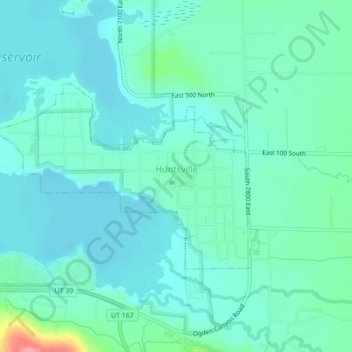
Name: Huntsville topographic map, elevation, terrain.
Location: Huntsville, Weber County, Utah, United States (41.25152 -111.80336 41.26873 -111.76003)
Average elevation: 1,502 m
Minimum elevation: 1,483 m
Maximum elevation: 1,585 m