
Thank you for supporting this site ❤️
Make a donation
Make a donation
Mutungagore topographic map
Click on the map to display elevation.
Thank you for supporting this site ❤️
Make a donation
Make a donation
About this map
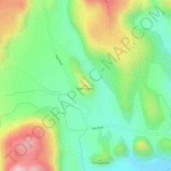
Name: Mutungagore topographic map, elevation, terrain.
Location: Mutungagore, Goromonzi, Mashonaland East, Zimbabwe (-17.58593 31.24202 -17.58583 31.24212)
Average elevation: 1,383 m
Minimum elevation: 1,265 m
Maximum elevation: 1,553 m
Thank you for supporting this site ❤️
Make a donation
Make a donation