
Thank you for supporting this site ❤️
Make a donation
Make a donation
Mapela topographic map
Click on the map to display elevation.
Thank you for supporting this site ❤️
Make a donation
Make a donation
About this map
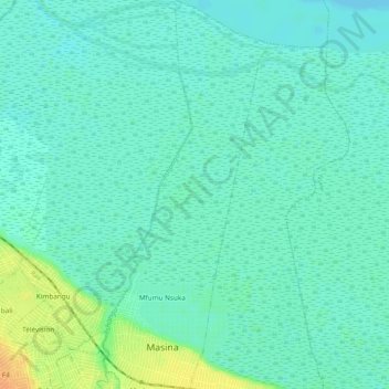
Name: Mapela topographic map, elevation, terrain.
Location: Mapela, Masina, Kinshasa, Democratic Republic of the Congo (-4.38688 15.38854 -4.33453 15.41099)
Average elevation: 275 m
Minimum elevation: 266 m
Maximum elevation: 300 m
Thank you for supporting this site ❤️
Make a donation
Make a donation