
Trübsee topographic map
Interactive map
Click on the map to display elevation.
About this map
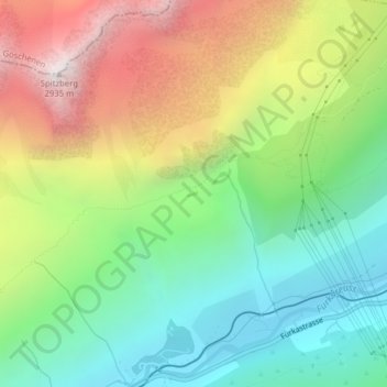
Name: Trübsee topographic map, elevation, terrain.
Location: Trübsee, Hospental, Korporation Ursern, Uri, 6493, Suisse (46.62337 8.54004 46.62379 8.54123)
Average elevation: 2,041 m
Minimum elevation: 1,467 m
Maximum elevation: 2,922 m