
Ottafe topographic map
Interactive map
Click on the map to display elevation.
About this map
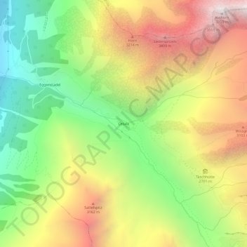
Name: Ottafe topographic map, elevation, terrain.
Location: Ottafe, Täsch, Viège, Valais, 3929, Suisse (46.03927 7.79097 46.07927 7.83097)
Average elevation: 2,554 m
Minimum elevation: 1,536 m
Maximum elevation: 3,725 m
Other topographic maps
Click on a map to view its topography, its elevation and its terrain.