
Velp topographic map
Interactive map
Click on the map to display elevation.
About this map
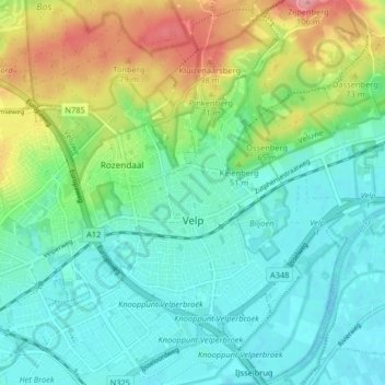
Name: Velp topographic map, elevation, terrain.
Location: Velp, Rheden, Gueldre, Pays-Bas (51.97441 5.95153 52.02450 6.01420)
Average elevation: 35 m
Minimum elevation: 6 m
Maximum elevation: 106 m
Other topographic maps
Click on a map to view its topography, its elevation and its terrain.