
Thank you for supporting this site ❤️
Make a donation
Make a donation
Kathekani topographic map
Click on the map to display elevation.
Thank you for supporting this site ❤️
Make a donation
Make a donation
About this map
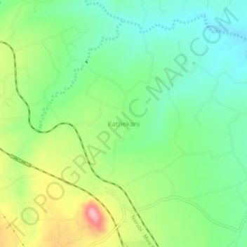
Name: Kathekani topographic map, elevation, terrain.
Location: Kathekani, Kibwezi East, Makueni, Kenya (-2.63660 38.13000 -2.59660 38.17000)
Average elevation: 750 m
Minimum elevation: 698 m
Maximum elevation: 844 m
Thank you for supporting this site ❤️
Make a donation
Make a donation