
Bagda topographic map
Interactive map
Click on the map to display elevation.
About this map
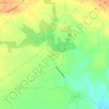
Name: Bagda topographic map, elevation, terrain.
Location: Bagda, Mundra Taluka, Kutch District, Gujarat, India (22.96178 69.76880 23.00178 69.80880)
Average elevation: 55 m
Minimum elevation: 34 m
Maximum elevation: 74 m