
Keurbooms River topographic map
Interactive map
Click on the map to display elevation.
About this map
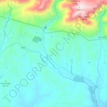
Name: Keurbooms River topographic map, elevation, terrain.
Average elevation: 334 m
Minimum elevation: 88 m
Maximum elevation: 1,348 m
Other topographic maps
Click on a map to view its topography, its elevation and its terrain.
Klip River
South Africa > Western Cape > Overberg District Municipality > Swellendam Local Municipality > Swellendam
Klip River, Swellendam, Swellendam Local Municipality, Overberg District Municipality, Western Cape, 6470, South Africa
Average elevation: 324 m