
Banja topographic map
Interactive map
Click on the map to display elevation.
About this map
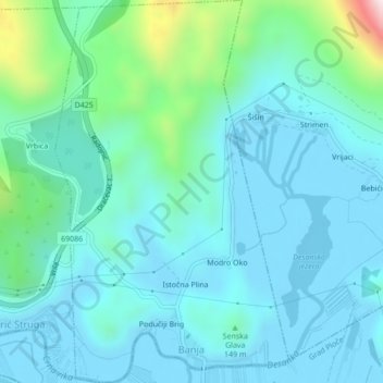
Name: Banja topographic map, elevation, terrain.
Location: Banja, Grad Ploče, Comitat de Dubrovnik-Neretva, Croatie (43.04654 17.48979 43.07796 17.51611)
Average elevation: 100 m
Minimum elevation: -6 m
Maximum elevation: 625 m