
Suc topographic map
Interactive map
Click on the map to display elevation.
About this map
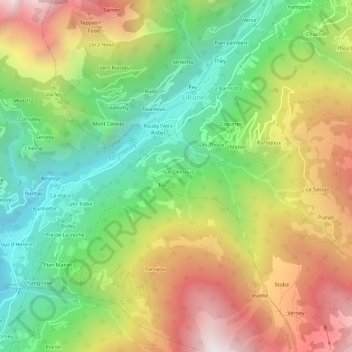
Name: Suc topographic map, elevation, terrain.
Location: Suc, Lillianes, Vallée d'Aoste, Italie (45.60364 7.82156 45.64364 7.86156)
Average elevation: 1,153 m
Minimum elevation: 487 m
Maximum elevation: 2,016 m