
Capanda topographic map
Interactive map
Click on the map to display elevation.
About this map
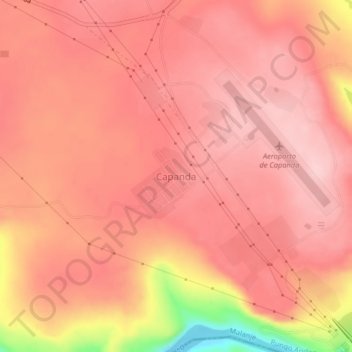
Name: Capanda topographic map, elevation, terrain.
Location: Capanda, Pungo Andongo, Provinz Malanje, Angola (-9.79444 15.42494 -9.75444 15.46494)
Average elevation: 989 m
Minimum elevation: 849 m
Maximum elevation: 1,030 m