
INRAN Fleuve topographic map
Interactive map
Click on the map to display elevation.
About this map
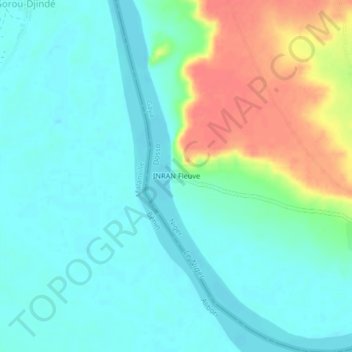
Name: INRAN Fleuve topographic map, elevation, terrain.
Location: INRAN Fleuve, Gaya, Dosso, Niger (11.88445 3.28784 11.92445 3.32784)
Average elevation: 173 m
Minimum elevation: 156 m
Maximum elevation: 214 m