
Kannur topographic map
Interactive map
Click on the map to display elevation.
About this map
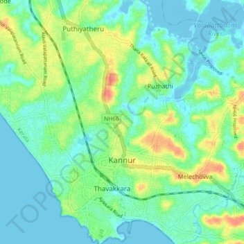
Name: Kannur topographic map, elevation, terrain.
Location: Kannur, Kannur District, Kerala, India (11.85163 75.35289 11.92379 75.40426)
Average elevation: 14 m
Minimum elevation: -5 m
Maximum elevation: 45 m