
Algeciras topographic map
Interactive map
Click on the map to display elevation.
About this map
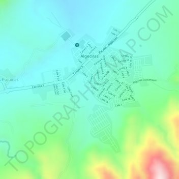
Name: Algeciras topographic map, elevation, terrain.
Location: Algeciras, Norte, Huila, 413040, Colombia (2.50993 -75.32561 2.52925 -75.30715)
Average elevation: 1,051 m
Minimum elevation: 947 m
Maximum elevation: 1,352 m