
Beringel topographic map
Interactive map
Click on the map to display elevation.
About this map
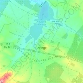
Name: Beringel topographic map, elevation, terrain.
Location: Beringel, Beja, Portugal (38.03640 -8.02602 38.08402 -7.96486)
Average elevation: 183 m
Minimum elevation: 142 m
Maximum elevation: 277 m
Other topographic maps
Click on a map to view its topography, its elevation and its terrain.