
Mansfield Center topographic map
Interactive map
Click on the map to display elevation.
About this map
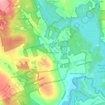
Name: Mansfield Center topographic map, elevation, terrain.
Average elevation: 101 m
Minimum elevation: 53 m
Maximum elevation: 185 m
Other topographic maps
Click on a map to view its topography, its elevation and its terrain.
Spring Hill
United States > Connecticut > Tolland County > Mansfield
Spring Hill, Mansfield, Tolland County, Connecticut, 06250, United States
Average elevation: 150 m