
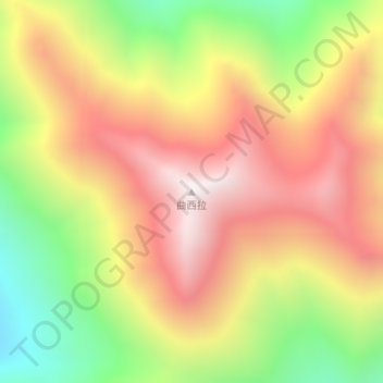
曲西拉 topographic map
Interactive map
Click on the map to display elevation.
About this map
Name: 曲西拉 topographic map, elevation, terrain.
Location: 曲西拉, 日土镇, 日土县, མངའ་རིས་ས་ཁུལ་ 阿里地区, Tibet, China (33.67284 79.19465 33.67294 79.19475)
Average elevation: 5,432 m
Minimum elevation: 4,892 m
Maximum elevation: 5,895 m