
Thank you for supporting this site ❤️
Make a donation
Make a donation
Uhuru Peak topographic map
Click on the map to display elevation.
Thank you for supporting this site ❤️
Make a donation
Make a donation
Uhuru Peak
Kilimanjaro is the fourth most topographically prominent peak on Earth. It is part of Kilimanjaro National Park and is a major hiking and climbing destination. Because of its shrinking glaciers and ice fields, which are projected to disappear between 2025 and 2035, it has been the subject of many scientific studies.
Thank you for supporting this site ❤️
Make a donation
Make a donation
About this map
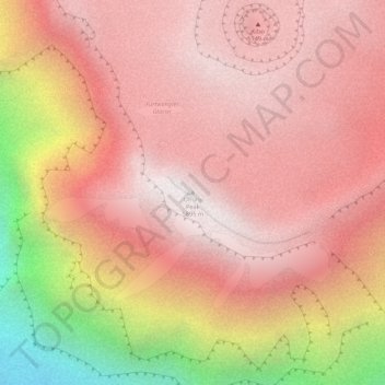
Name: Uhuru Peak topographic map, elevation, terrain.
Location: Uhuru Peak, Rombo, Kilimanjaro, Northern Zone, Tanzania (-3.07646 37.35395 -3.07636 37.35405)
Average elevation: 5,494 m
Minimum elevation: 4,531 m
Maximum elevation: 5,882 m
Thank you for supporting this site ❤️
Make a donation
Make a donation