
La Soledad topographic map
Interactive map
Click on the map to display elevation.
About this map
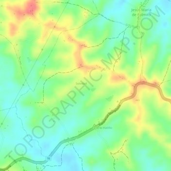
Name: La Soledad topographic map, elevation, terrain.
Location: La Soledad, Los Palmitos, Sabanas, Sucre, RAP Caribe, Colombia (9.42418 -75.17646 9.44680 -75.15606)
Average elevation: 195 m
Minimum elevation: 166 m
Maximum elevation: 232 m