
Orodell topographic map
Interactive map
Click on the map to display elevation.
About this map
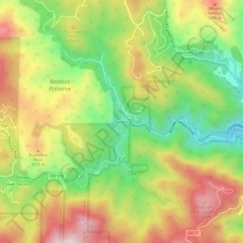
Name: Orodell topographic map, elevation, terrain.
Location: Orodell, Boulder County, Colorado, 80802, USA (39.99499 -105.34527 40.03499 -105.30527)
Average elevation: 1,910 m
Minimum elevation: 1,662 m
Maximum elevation: 2,179 m