
Central topographic map
Interactive map
Click on the map to display elevation.
About this map
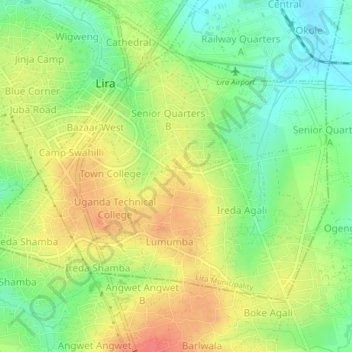
Name: Central topographic map, elevation, terrain.
Location: Central, Lira Municipality, Lira City, Northern Region, Uganda (2.22126 32.88184 2.24936 32.92134)
Average elevation: 1,098 m
Minimum elevation: 1,069 m
Maximum elevation: 1,128 m