
Le Helder topographic map
Interactive map
Click on the map to display elevation.
About this map
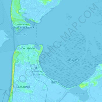
Name: Le Helder topographic map, elevation, terrain.
Location: Le Helder, Hollande-Septentrionale, Pays-Bas (52.88384 4.62945 53.02198 4.92584)
Average elevation: 0 m
Minimum elevation: -7 m
Maximum elevation: 21 m