
Bognor topographic map
Interactive map
Click on the map to display elevation.
About this map
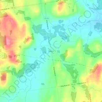
Name: Bognor topographic map, elevation, terrain.
Location: Bognor, Meaford, Grey County, Ontario, Kanada (44.50311 -80.76415 44.54311 -80.72415)
Average elevation: 266 m
Minimum elevation: 231 m
Maximum elevation: 327 m