
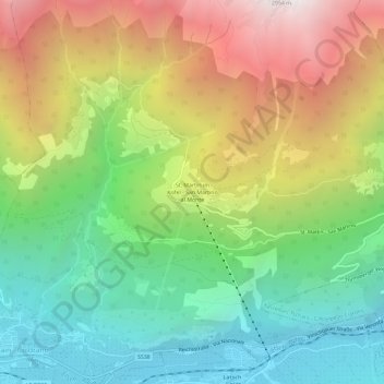
St. Martin im Kofel - San Martino al Monte topographic map
Interactive map
Click on the map to display elevation.
About this map
Name: St. Martin im Kofel - San Martino al Monte topographic map, elevation, terrain.
Average elevation: 1,514 m
Minimum elevation: 610 m
Maximum elevation: 2,864 m