
Shaftsbury topographic map
Interactive map
Click on the map to display elevation.
About this map
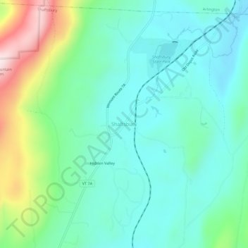
Name: Shaftsbury topographic map, elevation, terrain.
Location: Shaftsbury, Bennington County, Vermont, 05262, United States (42.98892 -73.21169 43.02892 -73.17169)
Average elevation: 355 m
Minimum elevation: 231 m
Maximum elevation: 727 m