
Kondi topographic map
Interactive map
Click on the map to display elevation.
About this map
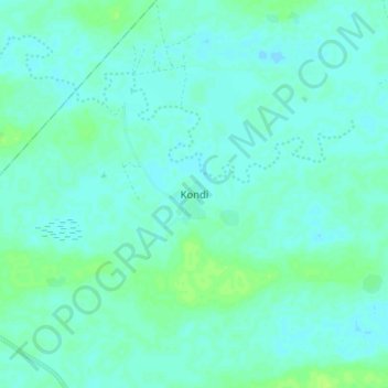
Name: Kondi topographic map, elevation, terrain.
Location: Kondi, Cercle de Diré, Tombouctou, Mali (16.32771 -3.51607 16.40771 -3.43607)
Average elevation: 264 m
Minimum elevation: 260 m
Maximum elevation: 272 m