
Eureka topographic map
Interactive map
Click on the map to display elevation.
About this map
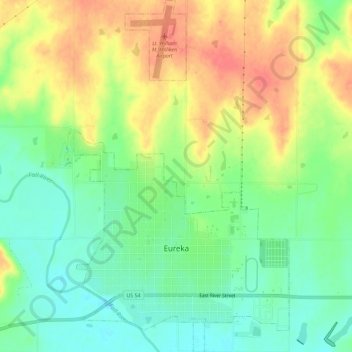
Name: Eureka topographic map, elevation, terrain.
Location: Eureka, Greenwood County, Kansas, 67045, United States (37.81049 -96.30604 37.85605 -96.27067)
Average elevation: 341 m
Minimum elevation: 313 m
Maximum elevation: 374 m