
Make a donation
Kosi topographic map
Click on the map to display elevation.
Make a donation
Kosi
The Kosi River catchment covers six geological and climatic belts varying in altitude from above 8,000 m (26,000 ft) to 95 m (312 ft) comprising the Tibetan plateau, the Himalayas, the Himalayan mid-hill belt, the Mahabharat Range, the Siwalik Hills and the Terai. The Dudh-Koshi sub-basin alone consists of 36 glaciers and 296 glacier lakes. The Kosi River basin borders the Tsangpo River basin in the north, the Mahananda River basin in the east, the Ganges Basin in the south and the Gandaki River basin in the west. The eight tributaries of the basin upstream the Chatra Gorge include from east to west.
Make a donation
About this map
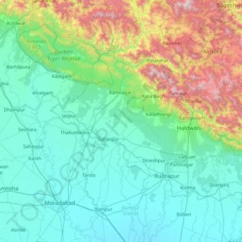
Name: Kosi topographic map, elevation, terrain.
Location: Kosi, Uttarakhand, India (28.63392 78.94703 29.86158 79.64754)
Average elevation: 603 m
Minimum elevation: 176 m
Maximum elevation: 2,681 m
Make a donation