
Meadow Gate topographic map
Click on the map to display elevation.
About this map
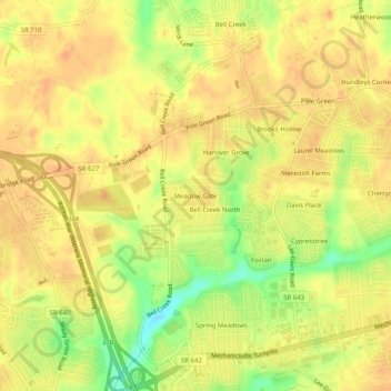
Name: Meadow Gate topographic map, elevation, terrain.
Location: Meadow Gate, Hanover County, Virginia, 23111, United States (37.60737 -77.37248 37.64737 -77.33248)
Average elevation: 53 m
Minimum elevation: 26 m
Maximum elevation: 64 m